 Lately we’ve received a bunch of emails from folks with questions about the American River, and unfortunately we can’t answer some of them. We’re hoping you might be able to help. If you can answer any of these questions, please post your answer as a comment, or use our contact formto provide a private response. Thanks!!
- From Leslie: My co-worker and I are looking into some historic information, and have come across a letter of one of her relatives by the name of A.D. Smead who is describing a time in 1849 where he and others in his party came over the Sierra Nevadas to Old Weavertown then down to Shingle Springs were they left the road and went to Moccasin river where they first mined for gold with rockers hollowed out of round logs. We are interested in finding out more about the Moccasin River and if it has changed names, and about Old Weavertown and where it was located.
- From Craig: Is there any shuttle service available for the South Fork these days?
- From Rich: I was wondering if someone could tell me if there is public boat or kayak access to the Chili Bar Reservoir below the White Rock Powerhouse?
- From Fentress: Your website mentions that there are more deaths on the “Lower American” than on the 3 forks. Can you provide me with the number of deaths occurring in past years on each fork and on the Lower American? Alternatively or conjunctively, can you refer me to any agencies (name and telephone number) who keep records on the number of deaths?
Similarly, I’d like to know about injuries common to going down each of the forks. I wanted to know if any records are kept regarding various types and frequencies of injury. I was also wondering the differences in kayaking, canoeing, and rafting with respect to deaths and injuries. Which is safest and, conversely, least safe? Are any records kept regarding this?
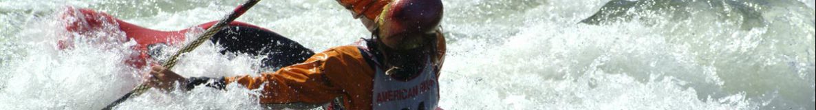
Thanks to Betty Sederquist for letting us use her picture of poppies on the South Fork of the American.


Answer for #2 from Kelly: “River Transportation” does private shuttles: 530-333-9067
Rich’s question #3: I was wondering if someone could tell me if there is public boat or kayak access to the Chili Bar Reservoir below the White Rock Powerhouse?
Answer from Bill Center: The answer is no. Surface use of Chili Bar Reservoir is not allowed for safety reasons (dangers of going over the dam, as well as significant daily reservoir elevation and White Rock release fluctuations which make the return trip up to White Rock PH impossible except by carry a lot of the time, and general management issues because of access road limitations and remoteness), though there will be new shore-side access on the North Side, accessed by trail from Rock Creek Road, at some point in the next few years under the relicensing agreement. It will be managed by BLM.